

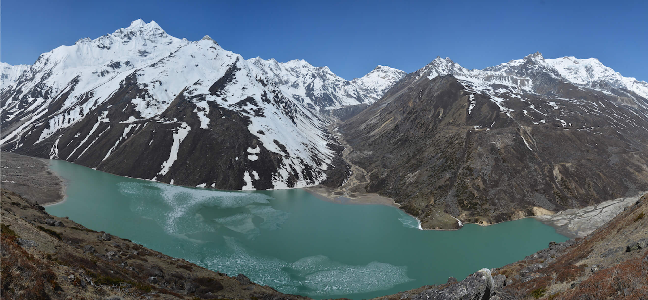
Kathmandu. The government has intensified preparations to reduce the water level of four major glaciers that are at high risk due to climate change.
According to the white paper prepared by the recently established Hydrology and Water Resources Research Center under the secretariat of the Water and Energy Commission, this far-reaching plan has been taken forward keeping in mind the risk of potential avalanches in the country.
According to the Centre’s plan, the water level of Thulagi in Manang, Lower Arun in Sankhuwasabha and Lumding Cho in Solukhumbu and Hongu-2 Himtal will be reduced through the ‘Gloof Sanjeevani Project’.
A total budget of 49.9 million US dollars has been allocated for this seven-year project, which will be operated from 2026 to 2033, of which 20 million dollars will be spent through the Hydrology and Water Resources Research Center. It is believed that this project will greatly help to prevent the irreparable loss of wealth that may occur in coastal areas due to Himtal explosion.
Recently, climate change is having a direct impact on the Himalayan river systems and glaciers of Nepal. Considering this reality, the government has expanded the network of automatic and manual centers across the country for scientific study, research and monitoring of water resources.
According to the department’s draft white paper, priority will be given to the use of AI, machine learning (ML) and high performance computing (HPC) systems to increase the accuracy and reliability of weather forecasting. Besides this, 503 manual weather stations across the country will be gradually upgraded to Automatic Measuring Stations (WSS).
Besides the maintenance of weather radars in Surkhet, Palpa and Udaipur, X-band radar connection has been proposed for Kathmandu Valley. Radiosonde centers will be established in 6 more provinces to study the condition of the upper atmosphere. 1155 toll free service, mobile app, social media and audio-visual briefings will be used to inform communities in low-lying and coastal areas.
At the same time, regular measurement of river flow, 365-day river flow forecasting, and 24-hour flood forecasting in affected areas from May to mid-October have been made effective.